
Satellites are very important for modern communication, from live news broadcasts to GPS navigation and internet access all over the world. Thousands of satellites orbit silently high above the Earth’s surface, keeping people connected all the time.
Satellites are more than just tools of technology for Pakistan; they are also a sign of progress, national security, and the digital age. SUPARCO (Space and Upper Atmosphere Research Commission), the country’s space agency, keeps making progress in this area, helping both civilian and military communication systems.
How Satellites Enable Global Communication
They are like big mirrors in space that pick up signals from one place on Earth and send them to another. This process lets people talk to each other across continents without using things like cables or towers.
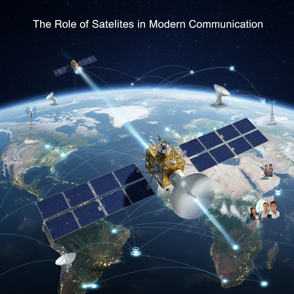
The main types of communication satellites are:
Without satellites, it would be almost impossible to talk to people in real time, do business around the world, and keep planes safe.
Pakistan’s Progress in Space Tech
Since the 1960s, Pakistan’s SUPARCO has been working hard on developing satellites. Its projects have improved communication systems, helped with disaster response, and made defense stronger.
Dr. Khurram Shahzad, a scientist at SUPARCO, says, “Communication satellites are the backbone of Pakistan’s digital infrastructure. They give power to everything from responding to disasters to online learning.”
Weather and satellite monitoring
Satellites that give real-time information about clouds, temperature, and rain are very important to modern meteorology. This information is very important for Pakistan, which has to deal with floods, droughts, and heatwaves all the time.
Working with the Pakistan Meteorological Department (PMD), SUPARCO has made early warning systems for storms and heavy rain better, which could save lives and reduce damage from disasters.
Internet and GPS access around the world
Starlink and OneWeb are two projects that are changing how the internet works around the world. Pakistan wants to work with global networks to improve rural connectivity, especially in Balochistan and Gilgit-Baltistan. These networks are owned by private companies.
At the same time, GPS and regional navigation systems like BeiDou (China) and IRNSS (India) are making the transportation and logistics industries more accurate.
📢 Stay informed — see more news on todaynewspakistan.com website.